Coastal Storm Damage Reduction Project (Federal Beach Renourishment)

In 2001, the Town began working with the United States Army Corps of Engineers (USACE) to develop the Town's Hurricane and Storm Damage and Reduction Project which received Congressional approval in 2014. Even though the project was authorized, it did not receive obligated funds ($22.2 M) until appropriated in 2018. This project was designed to reduced storm damages and also provide a more secure funding source. The cost share is 65% fed/35% local on the initial construction and 50%/50% on subsequent nourishments. The cost share for storm damage is 100% federal.
This project consists of 16,530 feet long, 15 feet high, 15 feet wide vegetated dune along Atlantic Reaches. It also includes 16,530 feet berm built at the existing berm height (7ft). The berm would start at the Atlantic Reach South (15 ft high dune), and would gradually taper over 1,900 feet into a 50 feet wide berm that would extend 6,330 feet along the Atlantic Reaches. The berm would widen over another 560 feet into a 75 ft wide berm that would extend 7,740 feet to Groin 1.
The initial project included the inlet reach and the Town has asked this be removed. The groin portion of the project as initially proposed was completed by the Town in 2017.
Mark Aakhus, Project Manager
United States Army Corps of Engineers, Mark Messersmith
Documents
Project Updates
This meeting was to pursue additional conversation on the language of the estate and discuss outcomes of the conversations.
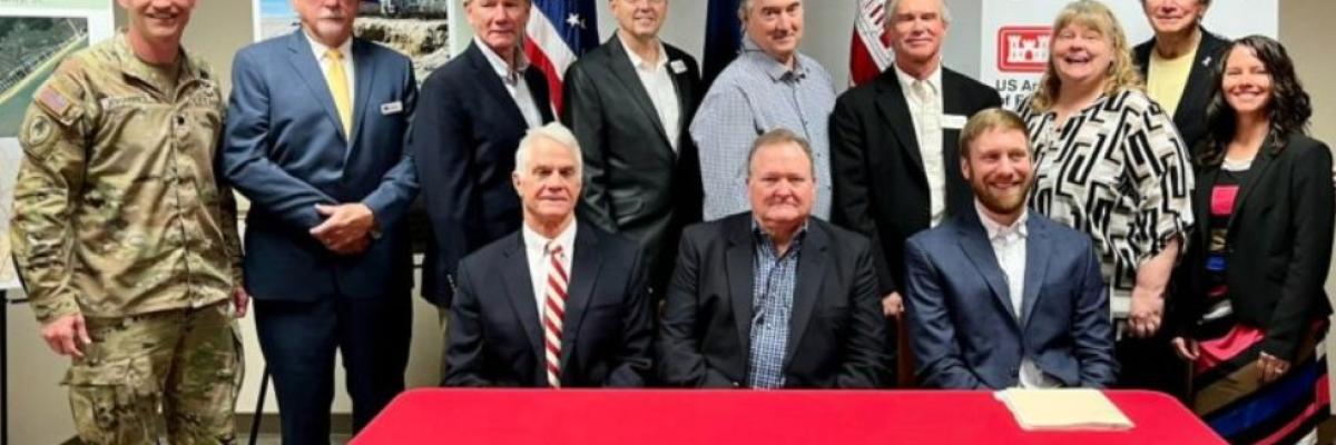
After contacting the USACE regarding the Town's desire to withdraw and the reasons associated with the decision, the USACE requested a meeting with the Town and USACE leadership to determine if the project could be salvaged. Discussions from this meeting were promising.
Council voted to withdraw the ACOE project considering the cost associated with construction and a failure to agree on easement language.
The Council will discuss information requested by the USACE on June 11, 2020. Two of the critical issues are local funding and Perpetual Easement Line.